 |
10 and 14 Pearl St.
Looking toward Lower Washington St. with the rear of the White Castle restaurant visible in the distance. On the right are 10 and 14 Pearl St. William Francis Conant, the long-time owner of The Brookline Print, had recently been living upstairs in this building with his third wife, Adelaide Huestis Conant, when he died in 1959. This photo was taken prior to the leveling of the entire area then known as The Marsh.
[Source: Brookline Preservation Department]
|
 |
Harvard St.
Looking north on Harvard St. from Harvard Sq. On the left is the rear of the Rhodes supermarket which opened at the beginning of 1906, the house at 20 Harvard St. and the Baptist Church.
[Source: Brookline Preservation Department]
|
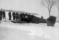 |
Crash Landing of Plane, Larz Anderson Estate, January 30, 1928
A mail plane flying from New York to Boston lost power after experiencing a broken fuel line and was force to crash land on the estate. The only occupant was the pilot who was unharmed.
[Source: Joel Shield]
|
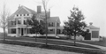 |
150 Fisher Ave.
[Source: Brookline Preservation Department]
|
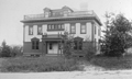 |
70 Hyslop Rd.
[Source: Brookline Preservation Department]
|
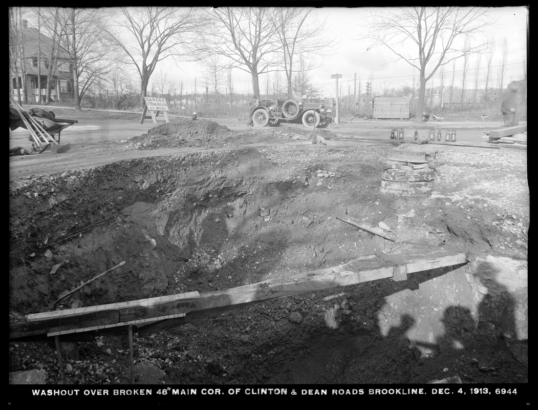 |
Clinton and Dean Rds.
Looking northwest toward Beacon St. 233 Clinton Rd. is on the left. In the early morning hours of December 5, 1913 (the date imprinted on the photo is inaccurate), a large water main burst here flooding the neighborhood and damaging homes.
In the center of the photo is the car of fire chief George H. Johnson. It is a Knox Model R Chiefs Car that was delivered to the town in August, 1909. It could seat the chief and his driver up front, two firefighters in the back, and carried light equipment like a lantern, axe, and extinguisher. It was capable of traveling at speeds up to 50 mph and was a dramatic change from the horses that were used just a few years earlier.
[Source: Digital Commonwealth]
|
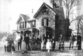 |
Frederick Sears Extended Family, 24 Cottage Farm Rd.
This presumably the extended family of Frederick Sears. In 1849, David Sears laid out the Cottage Farm neighborhood and built houses for himself, his four daughters, and this house for his son, Frederick, which still stands.
[Source: Brookline Preservation Department]
|
 |
Frederick Sears House, 24 Cottage Farm Rd.
In 1849, David Sears laid out the Cottage Farm neighborhood and built houses for himself, his four daughters, and this house for his son, Frederick, which still stands.
[Source: Brookline Preservation Department]
|
 |
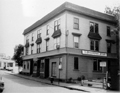
1050 Beacon St.
Northeast corner of Carlton St.
[Source: Brookline Preservation Department]
|
 |
Powell St., 1930s
[Source: Brookline Preservation Department]
|
 |
146 Naples Rd.
140 Naples Rd. is to the left.
[Source: Brookline Preservation Department]
|
 |
75-77 Monmouth St., circa 1910
[Source: Brookline Preservation Department]
|
 |
Monmouth Court, West Side
Looking south at numbers 19 - 27.
[Source: Brookline Preservation Department]
|
 |
Babcock St.
Looking north. 210 Babcock St. is on the left followed by Winslow Rd. 209 Babcock St. is on the right.
[Source: Brookline Preservation Department]
|
 |
Babcock St.
Looking north from Abbottsford Rd. Photo by town engineer, Henry A. Varney, whose car is in the photo, foreground right. Varney routinely parked his car within the range of his photos, often with a door open.
[Source: Brookline Preservation Department]
|
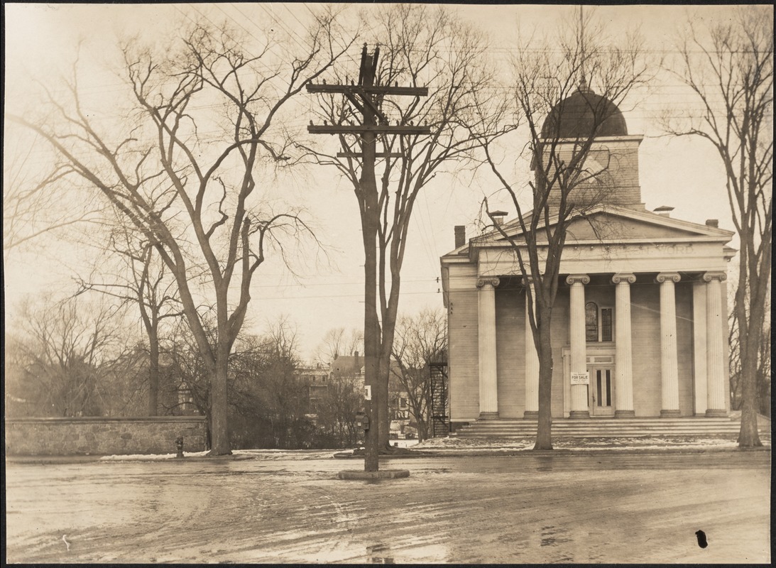 |
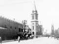
Bethany Sunday School
Washington St. at the junction with Cypress St., School St. to the right. This image shows the third iteration of the once tall steeple.
Known as the Bethany Building, the church was constructed in 1844 as the first church in Brookline of the newly-organized Harvard Congregational Society. The building was sold in 1873 as the Society prepared to move to a larger structure at the corner of Harvard St. and Marion St. After a brief stint as a Methodist church followed by several additional changes of ownership, the building was acquired in 1887 by the Bethany Sunday School Association which held it for the next twenty years. The building was torn down in 1928.
[Source: Digital Commonwealth]
|
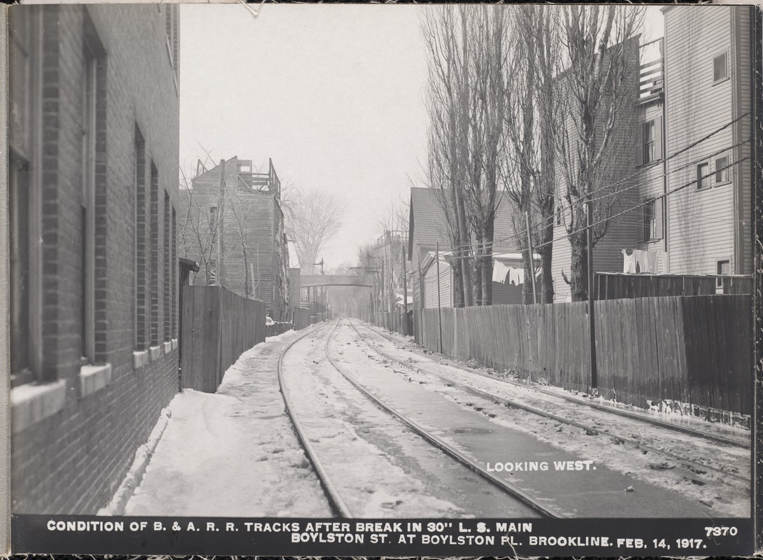 |
Boston & Albany Railroad, Brookline Village
Looking west. On the left is the rear of the brick building at 81 Boylston St., still standing. In the middle is the pedestrian overpass at Davis Path, no longer standing. In the foreground left is a partial view of the rear of 38 White Place, followed by 40 White Place, both still standing.
[Source: Digital Commonwealth]
|
 |
Fischer Hill, Aerial View
[Source: National Archives]
|
 |
Brookline Village, Aerial View
[Source: National Archives]
|
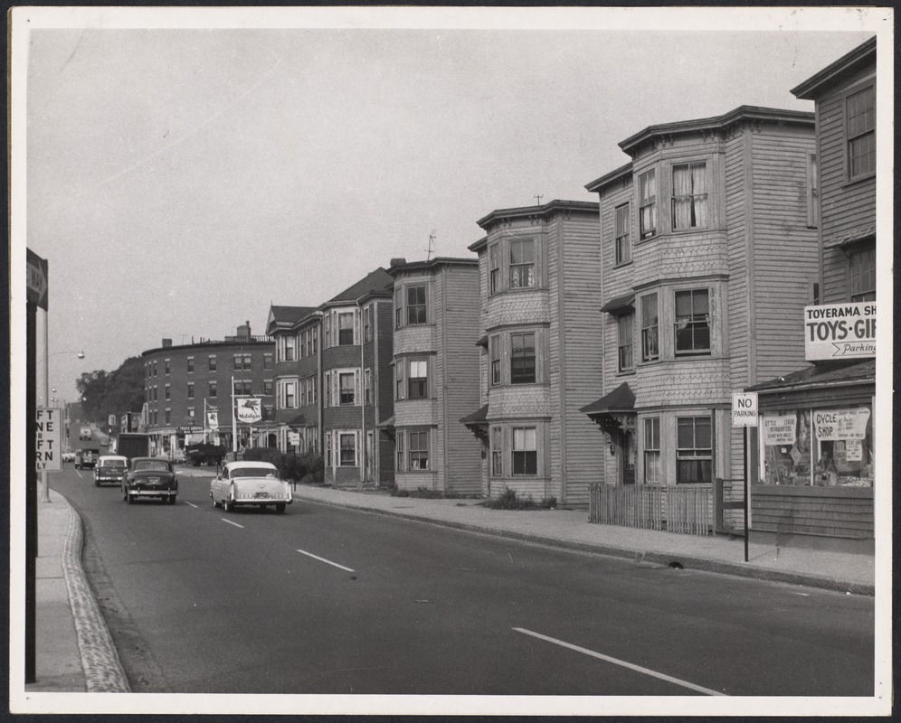 |
Boylston Street Between Cypress & Cameron Sts., 1956
[Source: Digital Commonwealth]
|